
01
Scope & deploy
Define your assets and inspection needs. We plan the missions and the right dock or crew-flown setup for your site.
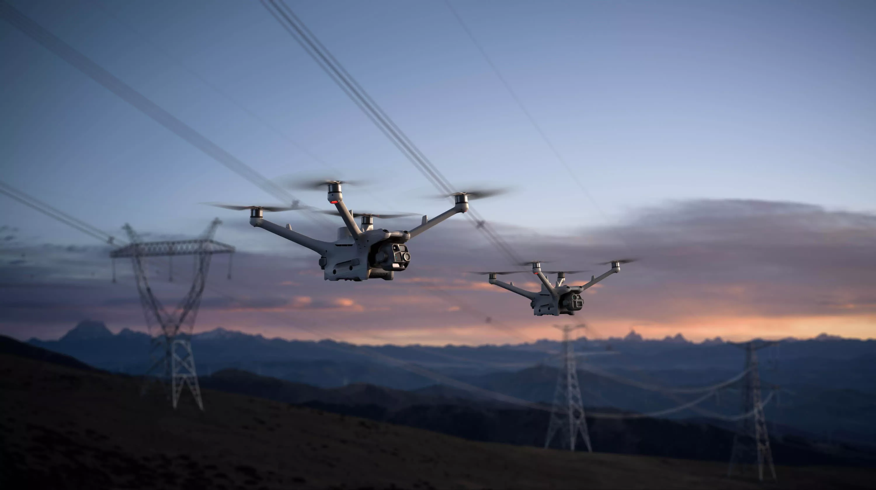
DRONE IN A BOX / MANAGED FIELD OPERATIONS
Managed Drone in a Box operations for oil and gas.
Visual inspections, thermal observation and mapping, handled.
MANAGED FIELD OPERATIONS
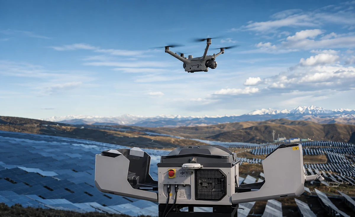
We operate dock-based drones for visual inspections, thermal observation and 3D mapping. Your team gets consistent field information without running a drone program.
HOW FIELD OPERATIONS WORK
We manage the drone operation.
Your team stays focused on the field.
Define your assets and inspection needs. We plan the missions and the right dock or crew-flown setup for your site.
We manage repeatable missions, capturing visual, thermal and mapping data across your operation.
Receive field imagery and inspection outputs your team can review, share and use to decide the next step.
MISSIONS WITH A PURPOSE
Capture methods selected around your assets
and the information your team needs.
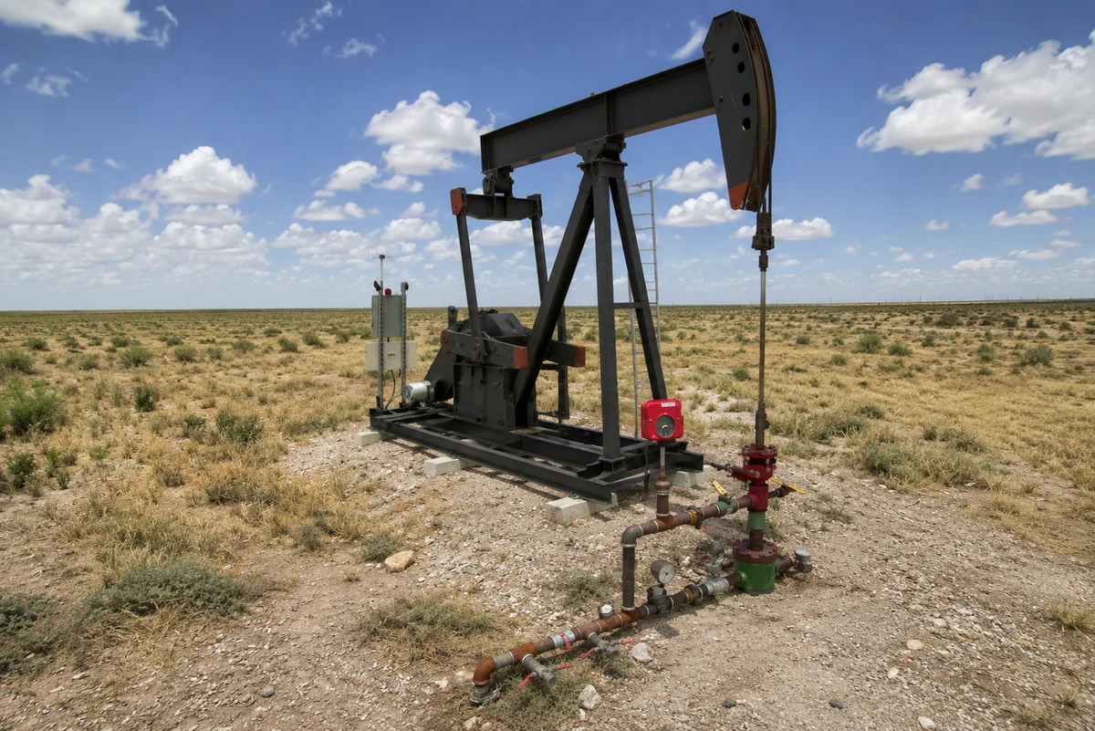
Observe equipment and site conditions. Repeatable capture gives the field and office a shared starting point for inspection and follow-up.
Add a thermal view of the asset. Temperature observations give your team another way to examine conditions and decide where to look more closely.
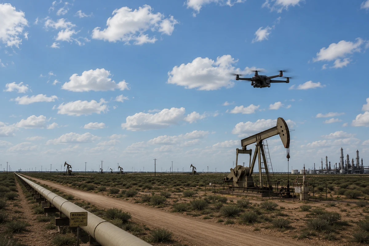
Put your site and assets in spatial context. Mapping outputs help your team understand the field and prepare for the next piece of work.
THE TOOLS BEHIND THE WORK
Dock-based routines. Crew-flown missions.
The right setup for the job.
DOCK-BASEDA site-based dock for repeatable missions with Matrice 4D / 4TD aircraft. Celestial manages the flight operation.
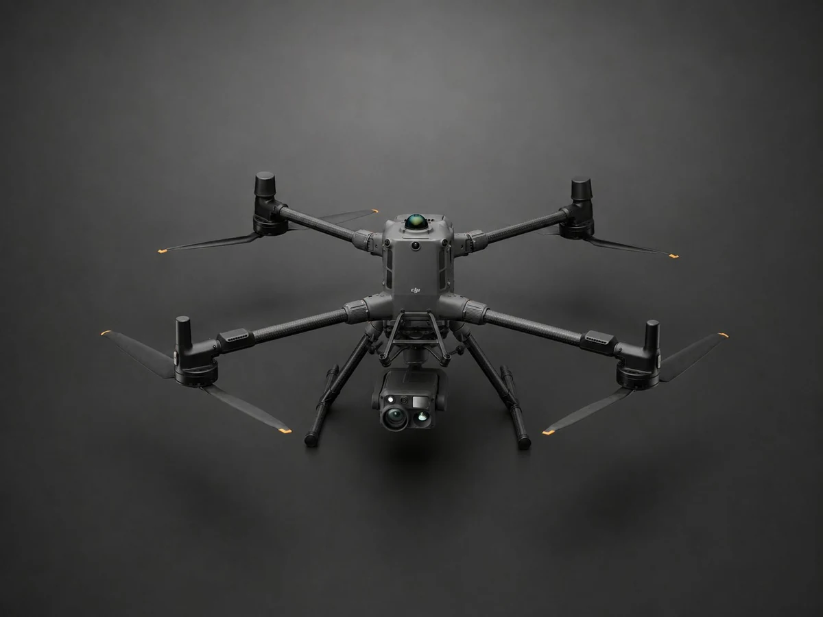 CREW-FLOWN
Crew-flown missions for mapping and inspections that call for a larger, multi-payload aircraft.
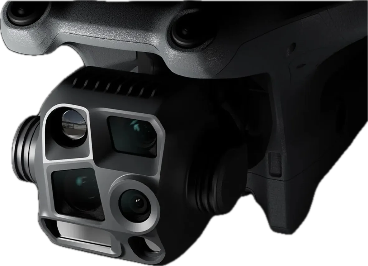 VISUAL + THERMAL
Visual and thermal capture for dock-based inspections. The Matrice 4D provides an optical alternative.
BEFORE WE DEPLOY
We scope the setup around your site, assets and inspection needs.
Celestial manages the drone operation. Your people review the field information and decide which actions to take.
Your assets, inspection priorities and site conditions guide the choice of dock-based or crew-flown missions. We work through those requirements before defining a deployment.
Visual inspections, thermal observations and 3D field mapping are available capture methods. The mission scope and aircraft determine the outputs for your operation.
The managed drone service captures field information today. The connected Digital Field Twin and AI analytics platform are in development. Explore the software we’re building →
PLAN A DEPLOYMENT
Start with the assets you need to see and the decisions your team needs to make. The site assessment defines the flight approach, deliverables and commercial scope.
Inspection priorities, flight frequency, coverage, deliverable formats and the people who need access. We define responsibilities for deployment, operations, equipment care and support in the proposal.
A scoped package of visual imagery, thermal observations or mapping outputs, with the site and capture context needed for review. The capture schedule and delivery cadence are agreed for your project.
Dock placement, power, connectivity, access and local conditions are assessed before deployment. Weather, airspace and applicable operating requirements influence when and how missions can run.
ILLUSTRATIVE EXAMPLE · NOT CUSTOMER RESULTS
This example explains the approach. Actual scope and outputs depend on the project.
View a sample field record (opens in a new tab) ↗Define a repeatable route around the assets selected for inspection.
Capture the agreed visual, thermal or mapping observations.
Organize the outputs by site and capture date for the customer’s review.
The operator reviews the observations and decides what needs follow-up.
THE NEXT STEP
Tell us what you want to improve. We’ll review the context and discuss a sensible starting point.